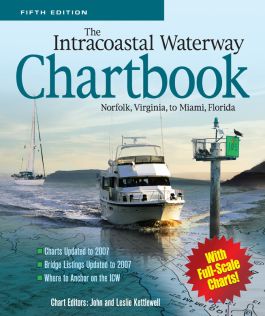
The Intracoastal Waterway Chartbook, Norfolk, Virginia, to Miami, Florida
Step 1. Download Adobe Digital Editions Both PC and Mac users will need to download Adobe Digital Editions to access their eBook. You can download Adobe Digital Editions at Adobe's website here.
Step 2. Register an Adobe ID if you do not already have one. (This step is optional, but allows you to open the file on multiple devices) Visit account.Adobe.com to register your Adobe account.
Step 3: Authorize Adobe Digital Editions using your Adobe ID. In Adobe Digital Editions, go to the Help menu. Choose “Authorize Computer.”
Step 4: Open your file with Adobe Digital Editions. Once you’ve linked your Adobe Digital Editions with your Adobe ID, you should be able to access your eBook on any device which supports Adobe Digital Editions and is authorized with your ID. If your eBook does not open in Adobe Digital Editions upon download, please contact customer service
Notice to Mariners
Introduction
Intracoastal Waterway Charts: Norfolk to Miami
Inlets & Major Side Channels
Alternate Routes
Appendix A
Appendix B
Appendix C
Appendix D
Appendix E
Index
Find your way down the Intracoastal Waterway between the Chesapeake Bay and Florida
The Intracoastal Waterway Chartbook provides a complete set of navigational charts (a $350 value) for the 1,090-mile ICW from Norfolk to Miami, as well as major Atlantic inlets, in a single, easy-to-use $70 package. Proven over 16 years and four prior editions, the Chartbook includes a complete listing of waterway bridge and lock characteristics, anchorages and waterway facilities; also pilotage notes, mileage charts, and charts for a picturesque alternate route.
